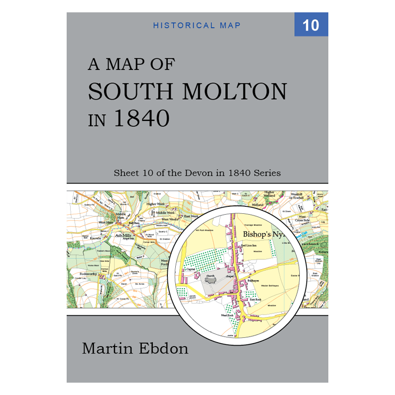
A Map of South Molton in 1840

£19.95

Sheet number 10 in the Devon in 1840 series of historical maps covers South Molton, showing the area as it was 180 years ago. Based on tithe maps of South Molton and the surrounding parishes, this publication is packed with historical detail and will appeal to anyone interested in old maps of the South Molton district.

On one side of the sheet is a large map of the country around Bishop’s Nympton at the scale of four inches to one mile (1:16000). On the other side is a map of the country around South Molton at the same scale, and a detailed map of the village of Bishop’s Nympton at the scale of 16 inches to one mile (1:4000).

Regrettably, there is no detailed town map of South Molton on this sheet, because of a lack of the necessary historical information. However, the town is included on the four-inch scale map of the area.

See the Area Covered tab, below, for more detail about what places are shown.

Category:

Description

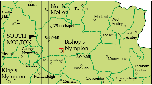
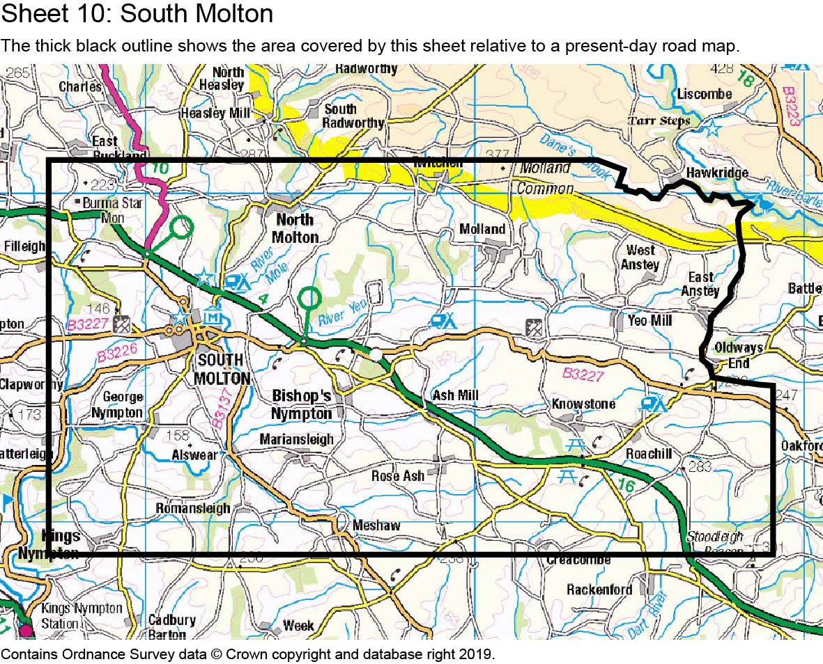
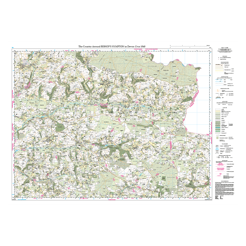
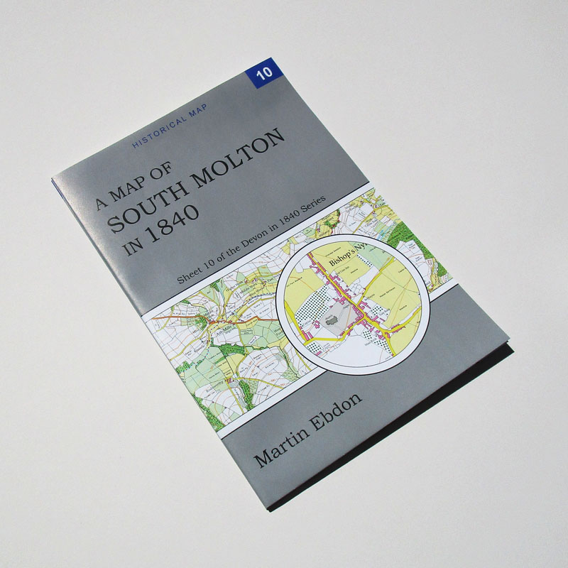
The maps on sheet 10 show the South Molton district as it was around 1840. The maps show buildings, roads (with turnpike roads and toll-gates distinguished), rivers and streams, field boundaries and cultivation, woodland, parkland, orchards, archaeological features, historic parish and hundred boundaries, and a host of small features of the landscape. The maps include a considerable number of field-names.

The maps are printed on a large sheet of quality paper. The sheet is folded to A4 size and comes with a protective sleeve of archive-quality polyester.

The Devon in 1840 series is for anyone who has an interest in the historical landscape. If your Victorian ancestors lived in Devon, you will find no more detailed picture of the locality in which they lived. Local historians and archaeologists will use these maps alongside original documents, and will appreciate the place-name index and the Guide to Historical Sources included on each sheet.

Area Covered

This map shows the area covered by the maps on this sheet. The area coloured green is mapped at four inches to one mile. The area outlined in red is also mapped in greater detail. The green lines are ancient parish boundaries.

The four-inch scale maps are based on the tithe maps of Bishop’s Nympton, East Anstey, George Nympton, Knowstone, Mariansleigh, South Molton, and West Anstey parishes, all of which are covered in full, and other parishes which are partially included.

This link shows the covered area outlined on a present-day map.

Go to the Shop page to see the coverage of other sheets that partially overlap this one.

Sheet 10 summary
Sheet 10 summary
×

Product Details

Title: A Map of South Molton in 1840: Sheet 10 of the Devon in 1840 Series
Author: Martin Ebdon
Format: folded sheet map
Size: 210 x 297 mm folded, 1188 x 840 mm unfolded
Publication date: 2020
ISBN: 978-1-9164880-1-4